
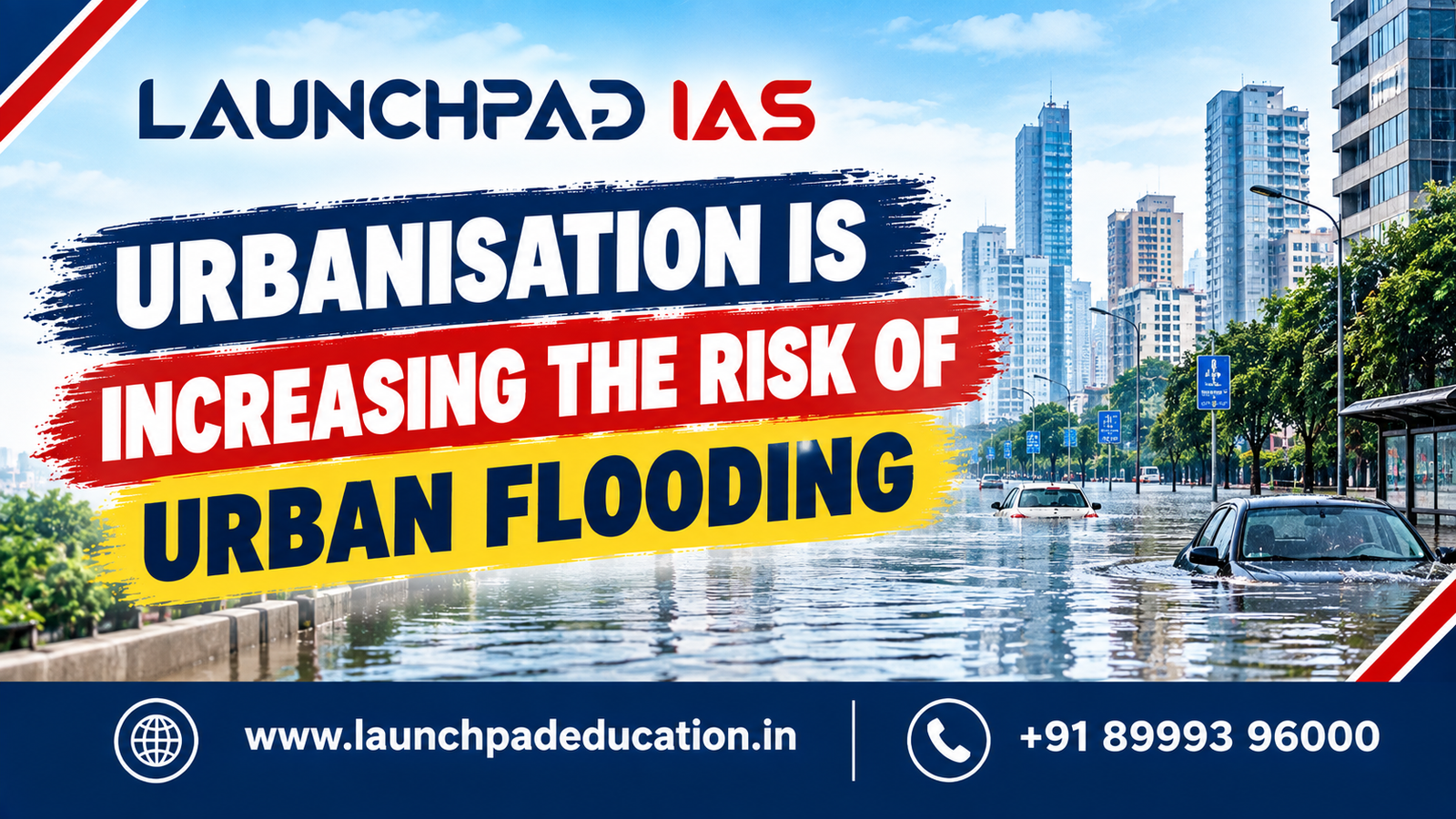
UPSC Mains 2026 | General Studies Paper 1 | Geography | 10 Marks | 150 Words
Model Answer
Urbanisation is increasing the risk of urban flooding by altering natural drainage systems and replacing permeable surfaces with concrete, roads and buildings. This reduces infiltration and increases surface runoff.
Urbanisation contributes to flooding through:
1. Impervious surfaces: Concrete and asphalt reduce infiltration and accelerate runoff.
2. Wetland and waterbody encroachment: Loss of natural storage areas reduces the city’s capacity to absorb excess rainfall.
3. Drainage obstruction: Construction over natural drainage channels restricts the movement of stormwater.
4. Floodplain encroachment: Urban expansion into flood-prone areas increases exposure to flood hazards.
5. Inadequate drainage: Existing drainage infrastructure may be insufficient for rapidly expanding urban areas and intense rainfall events.
6. Solid waste accumulation: Blocked drains increase waterlogging.
For example, Mumbai faces recurrent flooding due to intense monsoon rainfall combined with dense urbanisation and drainage constraints, while Bengaluru faces waterlogging due to rapid urban expansion and disruption of natural lake and drainage systems.
Thus, urban flooding requires integrated planning involving wetland protection, improved drainage, permeable surfaces, floodplain zoning and sponge-city approaches.
1. Understanding the Question
The question requires a clear explanation of the relationship between urbanisation and increasing flood risk, supported by suitable examples.
The answer should address three components:
Urbanisation
↓
Changes in land use and drainage
↓
Increased runoff and reduced water absorption
↓
Higher Urban Flood Risk
The directive “Discuss” requires explanation supported by examples rather than merely listing causes.
2. How to Approach the Answer
A 150-word answer can follow this structure:
Introduction
Define urban flooding and explain how urbanisation modifies the natural hydrological cycle.
Body
First: Explain the physical changes caused by urbanisation.
Second: Explain how these changes increase flood risk.
Third: Provide Indian examples.
Conclusion
Suggest sustainable urban-planning and flood-management measures.
Ideal Structure
Urbanisation → Land-use Change → Reduced Infiltration → Increased Runoff → Drainage Stress → Urban Flooding
3. How Urbanisation Changes the Hydrological Cycle
In a natural landscape, rainfall is distributed among:
– Infiltration
– Groundwater recharge
– Surface runoff
– Evapotranspiration
Urbanisation changes this balance.
Natural Landscape
Vegetation and soil
↓
Higher infiltration
↓
Groundwater recharge
↓
Lower surface runoff
Urban Landscape
Buildings, roads and concrete
↓
Reduced infiltration
↓
Increased surface runoff
↓
Greater pressure on drainage systems
↓
Higher flood risk
4. Major Causes of Urban Flooding
4.1 Increase in Impervious Surfaces
Urban expansion replaces soil and vegetation with concrete, asphalt and buildings.
This reduces the ability of the ground to absorb rainfall.
Impervious Surface Increase → Infiltration Decrease → Runoff Increase
4.2 Loss of Wetlands and Water Bodies
Urban wetlands, lakes and ponds naturally store excess rainwater.
Their encroachment or conversion for construction reduces natural water-storage capacity.
Wetland Loss → Storage Capacity Decrease → Flood Risk Increase
4.3 Encroachment of Natural Drainage Channels
Natural streams and drainage corridors are often narrowed, blocked or built over during urban expansion.
This restricts the movement of stormwater and increases local waterlogging.
4.4 Floodplain Encroachment
Construction on floodplains increases the number of people, buildings and infrastructure exposed to flood hazards.
Therefore:
Flood Hazard + High Exposure = Higher Disaster Risk
4.5 Inadequate Stormwater Drainage
Rapid urban growth may exceed the capacity of existing drainage infrastructure.
During intense rainfall:
Rainfall Intensity > Drainage Capacity
This results in waterlogging and flooding.
4.6 Solid Waste
Improper disposal of solid waste can block drains and reduce stormwater flow.
Waste Accumulation → Drain Blockage → Reduced Drainage → Waterlogging
5. Examples of Urban Flooding in India
Mumbai
Mumbai experiences recurrent urban flooding due to a combination of:
– Intense monsoon rainfall
– High population density
– Extensive built-up surfaces
– Drainage constraints
– Loss of natural drainage areas
The 2005 Mumbai floods remain an important example for understanding urban flood vulnerability.
Bengaluru
Bengaluru’s rapid urbanisation has altered its interconnected lake and drainage systems.
Encroachment and disruption of natural drainage pathways can increase waterlogging during heavy rainfall.
Chennai
Chennai’s urban flood vulnerability is associated with intense rainfall, urban expansion, drainage constraints and the degradation or encroachment of natural water-storage areas.
6. Urbanisation and the Positive Feedback Cycle
Urbanisation can create a self-reinforcing cycle:
Urban Expansion
↓
Vegetation and Wetland Loss
↓
Impervious Surfaces Increase
↓
Infiltration Decreases
↓
Surface Runoff Increases
↓
Drainage Systems Become Overloaded
↓
Urban Flooding
↓
Further Damage to Urban Infrastructure
This demonstrates why urban flooding cannot be addressed only through conventional drainage expansion.
7. Exam-Ready Flowchart
URBANISATION
↓
Concrete + Roads + Buildings
↓
Impervious Surface Increase
↓
Infiltration Decrease
↓
Surface Runoff Increase
+
Wetland Loss + Drainage Encroachment
↓
Drainage Capacity Decline
↓
Waterlogging
↓
INCREASED URBAN FLOOD RISK
↓
Need for Sustainable Urban Planning
8. Sponge City Approach
The Sponge City approach seeks to make urban areas capable of absorbing, storing, filtering and reusing rainwater instead of rapidly directing all runoff into drainage systems.
Major measures include:
– Permeable pavements
– Urban wetlands
– Rain gardens
– Green spaces
– Rainwater harvesting
– Restored lakes and ponds
– Sustainable drainage systems
Basic Principle
Capture → Store → Absorb → Reuse
This can reduce pressure on conventional stormwater drainage systems.
9. Blue-Green Infrastructure
A modern urban flood-management strategy combines:
Blue Infrastructure
– Lakes
– Ponds
– Wetlands
– Drainage channels
– Retention basins
Green Infrastructure
– Parks
– Urban forests
– Green roofs
– Vegetated areas
– Rain gardens
Together, they provide nature-based solutions for managing stormwater.
10. Way Forward
Urban flood management should move from a purely engineering-based approach towards integrated urban planning.
Key measures
1. Protect wetlands, lakes and natural drainage channels.
2. Implement floodplain zoning.
3. Increase permeable surfaces.
4. Upgrade stormwater drainage infrastructure.
5. Improve solid-waste management.
6. Promote rainwater harvesting.
7. Develop blue-green infrastructure.
8. Strengthen rainfall monitoring and early-warning systems.
9. Integrate disaster-risk assessment into urban master plans.
11. Important UPSC Keywords
Use relevant geographical and urban-planning terminology:
– Urban Flooding
– Impervious Surfaces
– Surface Runoff
– Infiltration
– Groundwater Recharge
– Drainage Congestion
– Wetland Encroachment
– Floodplain Zoning
– Stormwater Management
– Sponge City
– Blue-Green Infrastructure
– Nature-Based Solutions
– Urban Resilience
– Sustainable Urban Planning
12. Critical Perspective
Urbanisation should not be presented as the sole cause of urban flooding.
Flood risk is the result of interaction among:
Natural Hazard
+
Urban Land-Use Change
+
Infrastructure Deficit
+
Poor Planning
+
High Exposure
Therefore, extreme rainfall can cause flooding even in relatively well-planned cities, while poor planning can significantly amplify the impact of such events.
This balanced perspective is important for the directive “Discuss.”
13. Previous UPSC PYQ Linkage
Urban flooding connects with UPSC’s recurring themes of:
– Urbanisation
– Disaster management
– Floods
– Climate change
– Sustainable cities
– Environmental degradation
The topic should therefore be prepared through an integrated framework:
Urbanisation + Geography + Environment + Disaster Management
14. Syllabus Linkage
UPSC GS Paper 1
Geography: Urbanisation and associated problems and remedies.
Related Areas
Human Geography
↓
Urbanisation
↓
Urban Land Use
↓
Hydrological Changes
↓
Urban Flooding
↓
Sustainable Urban Planning
15. Quick Revision
Causes
Impervious Surfaces + Wetland Loss + Drainage Obstruction + Floodplain Encroachment + Inadequate Drainage
↓
Impact
Runoff Increase + Waterlogging + Infrastructure Damage + Economic Loss
↓
Solutions
Wetland Protection + Sponge Cities + Blue-Green Infrastructure + Floodplain Zoning + Better Drainage
16. Mains Takeaway
The central argument is:
«Urbanisation increases flood risk by replacing natural water-absorbing surfaces, disrupting drainage systems and increasing exposure in flood-prone areas.»
One-Line Revision
Urbanisation → Impervious Surfaces + Wetland Loss + Drainage Stress → Runoff Increase → Urban Flood Risk Increase
For a high-quality Mains answer, always connect cause, process, impact, example and solution.

